
At a Glance
| Location | Bedfordshire · Watling Street and Icknield Way |
|---|---|
| Landscape | Chalk downland, intersecting Roman roads, market rows and stone precinct |
| Character | Planned market town and important sacred landholding |
| Local authority | Prior’s bailiffs, market holders and Crown |
| Livelihood | Wool, market tolls, livestock, carts and guest accommodation |
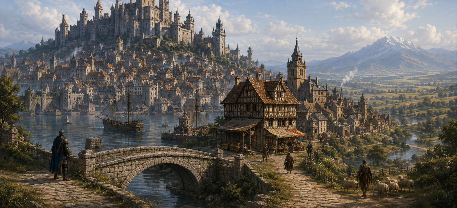
At Dunstable the roads themselves seem to argue. Watling Street cuts north-west, while Icknield Way crosses the chalk country. Merchants need a decision before their horses tire; the powerful sacred house beside the junction would prefer they pay market tolls before moving on.
What Is Happening Right Now?
A wool train has arrived from St Albans with a mismatched seal. The drivers say the original warrant was lost on the downs; the market collector believes they are evading the due. Meanwhile two drovers quarrel over which road is fit for animals after overnight rain.
The sacred precinct’s gate captain has closed one path across its outer yard. That forces travellers past the busy market and increases the chance that two rival caravans will meet face to face.
Streets and Landmarks
The Crossroads
Watling Street and Icknield Way meet in the centre of the old town. A wrong turn can take a trader onto the chalk ridge instead of the north-west road. The corner attracts guides who know alternative tracks, some reliable and some desperate.
The Sacred Precinct and Gatehouse
A great stone temple complex stands near the junction, with a substantial fifteenth-century gateway and guest buildings. Its keepers serve the region’s gods and collect rents from lands assigned to the house; they cannot simply arrest every merchant who refuses to pray.
The Market and Wool Weights
Wool sales and road traffic sustain the shops. Weighers possess practical authority, and a caravan’s livelihood may depend on proving whether a bale has been dried properly.
The Downs Beyond Town
Chalk ridges and open grazing country make a tempting shortcut, but livestock exhaust water supplies and carts sink when they leave the firmest established ways. A guide should explain that choice before taking payment.
Where to Eat, Drink, Sleep and Find Help
The Four Roads — by the crossing
Comfortable, moderate cost. Host Joan Hatcher offers warm beds, roast onions, potage, a guarded cart yard, fodder and posted road reports. Wool merchants use its upstairs table. Someone is paying the stable boy to report which messenger arrived last.
The Chalk Hare — west end
Cheap, noisy. Rafe Dib sells barley bread, ale and floor straw to shepherds and drovers. Stabling is limited and horses are watched only when Rafe is awake. He knows a safer route across the downs but refuses to reveal it while a neighbour remains missing.
Precinct Hospitium and Wheelwright
A sacred guest house receives some pilgrims and visiting scholars; its attendants bind wounds and offer a clean pallet to the sick, but cannot promise magical healing. Repair yards on the road can replace an axle peg, re-rim a wheel and mend harness before daybreak if iron is available.
The Crossing Yard — mounts and road supplies
Farrier Meg Brice shoes horses, stitches worn harness and keeps spare buckles and pack straps by the crossroads. Work done after dark costs more, and a broken suit of armour is beyond her forge. The market sells rope, lamp oil, oats and waterskins; unusual weapons and arcane books must be sought elsewhere. Meg saw the missing shepherd’s dog run down a little-used track from Five Knolls, not the main road. She will show travellers where it came through the hedge if someone minds her forge while she is away.
People and Local Powers
Joan Hatcher wants the old crossing kept clear. Wool clerk Martin Gray suspects a forged tally but needs a witness he cannot be accused of bribing. Gate captain Sabina Cote needs to protect the sacred treasury without closing the market. These named figures are local campaign characters.
Crowded roads make the crossroads dangerous by day. At night the dead of Five Knolls claim their own ground on the downs, and travellers carrying stolen grave goods risk being followed back towards the market.
Dangers, Encounters and Choices
- Inspect a tampered set of wool weights before the market collector confiscates a caravan.
- Find the shepherd who knows which chalk track is still firm after rain.
- Negotiate a passage past the shut precinct gate without allowing a dispute over tolls to become an armed clash.
The Dead at Five Knolls
The Barrow Kings and the Gallows Slope
Seven ancient barrows rise on the downs, known together as Five Knolls. Five hold the remains of forgotten rulers. Their names have vanished from ordinary records, but they have not all relinquished their authority: one burial mound is guarded by a barrow wight that drives grave robbers from the earth and takes back objects removed from its chamber.
One of the mounds has also served as an execution place. Those left unhallowed on the gallows slope sometimes return after dark, drawn to the road by the last thing they saw while alive. The reeve has forbidden shepherds to camp there, and drovers steer their animals around the standing mounds rather than cross between them at night.
A missing shepherd: his dog returned with grave earth on its paws and a broken bronze ring in its mouth. The family wants him found before the next market. If the ring came from the guarded barrow, the dead ruler will follow it until someone returns what was taken. The party can recover the shepherd, learn who opened the mound and decide how to restore the burial without provoking the wight.
Travel, Roads and Local Law
Watling Street runs south-east to St Albans and London, and north-west toward Stony Stratford and Towcester. Icknield Way is a separate ancient route through chalk country, not a second name for Watling Street. Road costs depend on market rights and the state of crossings beyond the town.
Deeper History
Dunstable was laid out as a royal market town under Henry I near the crossroads of Roman Watling Street and Icknield Way. The Augustinian priory was established by the 1120s. It grew influential through landholding and the wool trade; its surviving thirteenth-century vaulted hospitium and fifteenth-century gateway make useful guides to the built scene. In the campaign, the sacred precinct honours a plurality of gods, while its economic powers endure.
Map and Geographic Orientation
This locator shows the present-day position of Dunstable; its roads and buildings are not a reconstruction of the campaign town.
Sources and Continue Travelling
Local folklore research: National Trust: Five Knolls · Historic England: Five Knolls Heritage Record.
Historical geography, markets and buildings are documented in the sources below. Names of most innkeepers, current disputes and adventure hooks are original parts of the campaign.
Historic England — Priory House · Historic England — Priory Gateway · Dunstable Town Council — Priory Gardens
On the route: London · St Albans · Dunstable · Stony Stratford · Towcester · Northampton · Market Harborough · Leicester · Loughborough · Nottingham.
Keep this reference growing
If this page helped with your reading or game, you can support its upkeep or explore the curated books.
Explore the Bookshop — epics, classics and stories behind imagined worlds.