
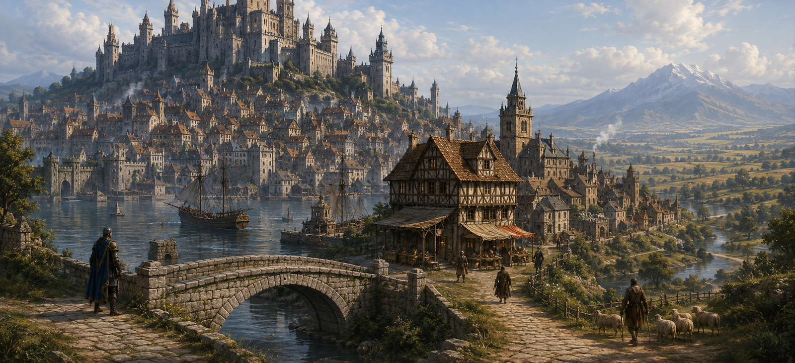
At a Glance
| Location | Northamptonshire · River Tove and Watling Street |
|---|---|
| Landscape | River Tove valley, Watling Street, market and old motte |
| Character | Small market town controlling several major roads |
| Local authority | Manorial officers, royal law and market tenants |
| Livelihood | Grain, cattle, road services, tolls and smithing |
Towcester makes a living from choices made at its junction. Watling Street continues across the country, while the road to Northampton crosses it by the market. A traveller can save a day with a sound guide, or lose two by choosing a flooded crossing on a confident stranger’s advice.
What Is Happening Right Now?
Two trading convoys have stopped at the junction. One needs to reach Northampton before a court summons expires; the other has livestock that cannot share the narrow road. A market reeve proposes a toll on every cart using the side road, and farmers insist he has no right to collect it.
At the old motte, boys have found fresh digging near a boundary marker. A local landholder claims somebody is trying to move the marker to enlarge his estate.
Streets and Landmarks
The Watling Street Junction
The old paved line passes through the heart of town and meets the road from Northampton towards Oxford and Brackley. Different travellers need different directions; road officers use that confusion to extract fees.
Market and Grain Stalls
Local farmers bring grain, pigs and cattle. The market is documented by about 1220 and remains essential. A quarrel over weights can quickly become a quarrel between neighboring manors.
Bury Mount and Old Castle Site
The Norman motte remains a physical reminder of a once-defended place, though not an excuse to invent a fully garrisoned late-medieval fortress. Children play there while estate clerks worry about trespass.
The River Tove Meadows
The town relies on meadow and water; moving stock during floods is difficult. Grazing boundaries may be worth more to residents than the treasure stories travellers hope to find.
Where to Eat, Drink, Sleep and Find Help
The Three Ways — by the junction
Moderate, practical. Host Maud Wren provides potage, mutton when available, three curtained rooms, secure oats and locked harness storage. Lawyers and market merchants use the front chamber. Maud keeps a chalkboard of roads that have been washed out, but someone has changed an entry.
The Tove Cup — meadow lane
Cheap, unguarded lodging. Leofric Tann gives teamsters ale, bread, pottage and a stable loft. His patrons know about boundary disputes and flooding. He is withholding a mule until its owner pays for grazing damage.
The Market Smith
A smith fixes iron fittings while a carpenter can splice axles and wheel spokes. They require payment or practical help, not adventurous promises.
People and Local Powers
Market reeve Oswin Hale wants road fees to pay for repairs but has not secured the right to impose them. Maud Wren wants trustworthy guides. Cattle farmer Agnes Rook has lost meadow to a shifted stone. These people are original characters set among historical roads and a market.
Road confusion and contested authority create the immediate danger. Some drinkers say the motte shelters a restless knight; the tale is a rumour, not proof of an undead guardian.
Dangers, Encounters and Choices
- Prove which lord controls the toll at the junction before a merchant train is seized.
- Survey a moved boundary stone without provoking the two families who claim the grazing.
- Ride ahead of an official’s convoy and determine whether the Northampton road is passable.
Travel, Roads and Local Law
Take Watling Street south-east to Stony Stratford or the westward continuation towards the Midlands. The road east turns to Northampton, where the journey then bends north towards Market Harborough and Leicester. This is a linked itinerary with turns, not one continuous ancient road with a single name.
Deeper History
Roman Lactodurum stood at an important crossing of roads, and a Saxon burh helped guard the route during the conflict with the Danelaw. The medieval settlement developed along Watling Street with a market recorded from about 1220. Bury Mount preserves a Norman castle site. The later boom in coaching inns and modern racing attractions have no place in the current scene.
Map and Geographic Orientation
This locator shows the present-day position of Towcester; its roads and buildings are not a reconstruction of the campaign town.
Sources and Continue Travelling
Historical geography, markets and buildings are documented in the sources below. Names of most innkeepers, current disputes and adventure hooks are original parts of the campaign.
Northamptonshire Historic Environment Record — Towcester market · Northamptonshire Historic Environment Record — Towcester
On the route: London · St Albans · Dunstable · Stony Stratford · Towcester · Northampton · Market Harborough · Leicester · Loughborough · Nottingham.
Keep this reference growing
If this page helped with your reading or game, you can support its upkeep or explore the curated books.
Explore the Bookshop — epics, classics and stories behind imagined worlds.