
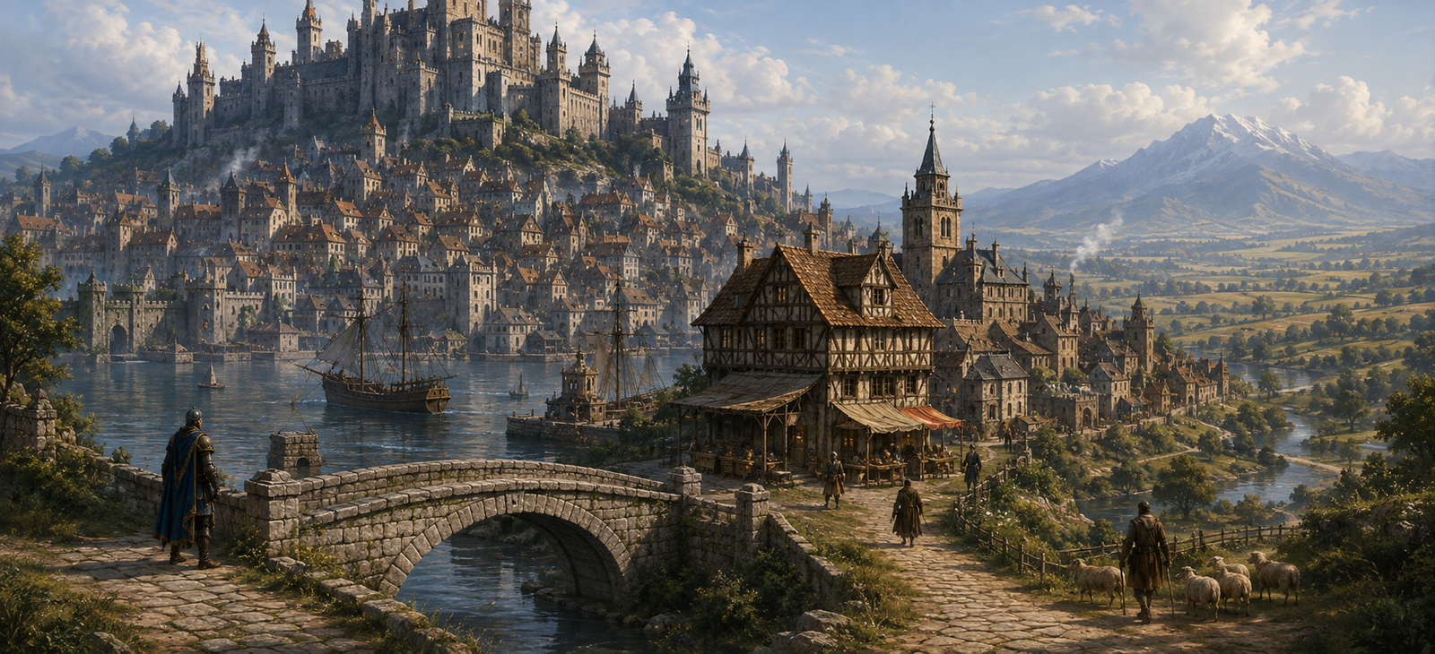
At a Glance
| Location | Buckinghamshire · Watling Street and Great Ouse |
|---|---|
| Landscape | River Great Ouse, bridge, long street and waterside plots |
| Character | Long road-market settlement at a strategic river crossing |
| Local authority | Manorial lords, town traders and road officers |
| Livelihood | Bridge traffic, horse feed, inns, grain and roadside trade |

At Stony Stratford, every argument eventually reaches the bridge. Watling Street brings wagons to the Great Ouse, but a river decides how quickly they pass. A good innkeeper hears the news of London before the merchants who carry it know what the message means.
What Is Happening Right Now?
Three days of rain have soaked the Great Ouse bridge approach. A laden wagon has sunk to its axle at the south end, trapping two draught horses as the river rises. Its driver needs ropes and carpenters before darkness; the bridge keeper fears the damaged rail will give way if more carts press across. People can still walk over, but the town’s food carts are queueing along Watling Street.
A courier from Dunstable arrived with a broken seal and a wounded horse. She needs a fresh mount to reach Towcester, yet her bag has been taken into safekeeping by innkeeper Avice Grik. Somebody has already offered Avice good silver for the contents. The stranded convoy, the injured animals and the courier’s urgency give visitors reasons to act before the river falls.
Streets and Landmarks
The Great Ouse Bridge
The crossing is the town’s reason for being. Foot traffic, cattle, laden carts and those trying to collect dues must use a narrow space. Watching the bridge reveals who leaves before dawn.
Watling Street High Street
Long burgage plots house trades and lodgings. The road’s steady demand for food and horse care makes a successful tavern as powerful as a small landholder when repairs must be funded.
Grilkes’ Old Lodging
An inn of this name is documented in the early fourteenth century, near the crossing. Its timber hall is familiar to carriers who prefer an established host to a newly opened yard.
The Riverside Work Yards
Carpenters mend wheels and timberwork, boatmen test the current and fishers work the slower waters. A dropped chest can be lost downstream before anyone agrees whose cargo it was.
Where to Eat, Drink, Sleep and Find Help
Grilkes Inn — south bridge approach
Moderate, well established. Avice Grik offers stew, oatcakes, straw pallets, two private rooms and secure space for saddles and packs. Couriers, travellers and bridge workers gather at her long table. She will return the courier’s bag to its owner, but not to the well-dressed stranger who has offered to buy it.
The Ouse Lantern — river yard
Cheap and damp. Osbert Pike sells beer, smoked eel and floor lodging to boatmen and labourers. He has no proper stable, but he knows a ferryman who can take passengers across when the water is safe. Those who can bail boats, haul ropes or find a missing cargo chest may earn their keep here.
Farrier and Cartwright — bridge yard
A farrier and carpenter share a work yard close to the crossing. They shoe horses, mend harness and wagon wheels, cut bridge timbers and sell rope, spare pins and leather straps. A simple job may be finished that day; rebuilding a broken wagon requires lumber and paid help. Their apprentices need hands to brace the damaged approach before another loaded cart enters it.
Food, Care and Onward Passage
Traders along the High Street sell bread, oats, lamp oil and ordinary road provisions. A local herb seller tends cuts and chills; serious wounds need a better-equipped healer farther along the road. Avice can recommend a carter, while Osbert knows the river’s current and the safer banks. Performers sometimes earn a meal at the inns. Rare spells, costly armour and specialist magic supplies are not conveniently sold at this small crossing town.
People at the Crossing
Avice Grik protects her guests and recognises the clasp on the courier’s bag. She can help a trustworthy party find transport, but will not betray someone’s letters for a stranger’s silver. Osbert Pike knows the river by sight and sound; he resents timber taken from his yard and will lend a boat sooner than another plank. Wulfric Dane looks after the bridge approach. He is brusque with impatient drovers, but he has shut the crossing to heavy carts because he has seen the rail crack.
The town survives by feeding people who pass through. These three can put travellers to work, give useful information or make a reckless river crossing much worse.
Adventures at the Ouse
- The wagon in the mud: Free the draught horses and unload sacks before the wet bank gives way. The farrier needs rope and strong hands; river-wise travellers can spot firmer footing, while a healer may keep an injured teamster alive.
- The opened courier bag: Find out who cut the letter cord and why somebody wants the message before its rider reaches Towcester. Avice can identify the recipient’s clasp; the stranger buying information has watched the inn since sundown.
- A way across: Choose between repairing the approach, waiting for water to drop, hiring a ferryman or travelling light on foot. Every choice costs something: effort, coin, time or risk to the animals.
If the bridge remains closed, bread and fodder run short on the north bank, and both inns fill with stranded travellers. By morning, even those who never intended to stop here must decide whether to help, wait or risk the crossing.
Travel, Roads and Local Law
Watling Street leads south-east through Dunstable towards St Albans and London; north-west it reaches Towcester. Travellers bound for Northampton must take the appropriate turning farther on. A modern road bridge and its traffic pattern cannot be copied directly into the medieval journey.
Deeper History
The town developed along Watling Street beside an important crossing over the Great Ouse. Early recorded lodgings include Grilkes Inn in 1317, which makes a believable working stop for fourteenth- and fifteenth-century journeys. Many better-known inns belong to later records, and should not all be inserted into the town’s present as if already ancient.
Map and Geographic Orientation
This locator shows the present-day position of Stony Stratford; its roads and buildings are not a reconstruction of the campaign town.
Sources and Continue Travelling
Historical geography, markets and buildings are documented in the sources below. Names of most innkeepers, current disputes and adventure hooks are original parts of the campaign.
Milton Keynes Heritage Association — Stony Stratford history · Buckinghamshire — Stony Stratford Historic Town Assessment
On the route: London · St Albans · Dunstable · Stony Stratford · Towcester · Northampton · Market Harborough · Leicester · Loughborough · Nottingham.
Keep this reference growing
If this page helped with your reading or game, you can support its upkeep or explore the curated books.
Explore the Bookshop — epics, classics and stories behind imagined worlds.